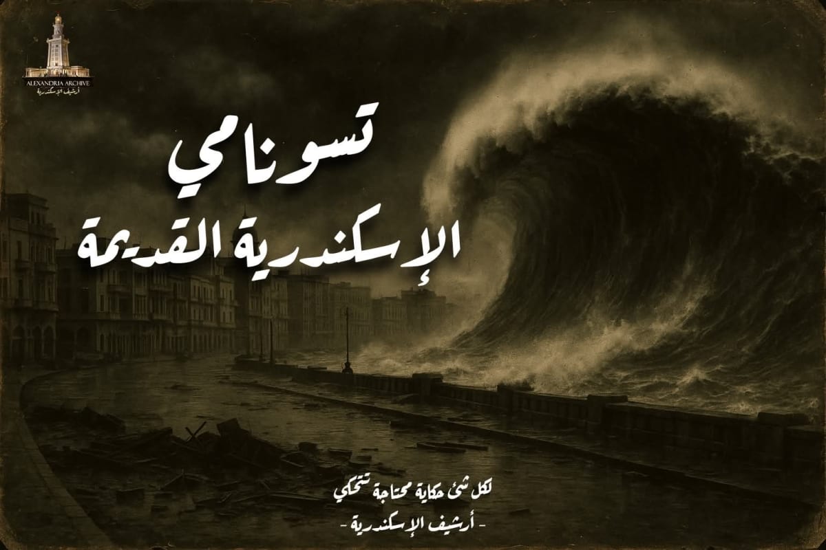
أسس الإسكندر الأكبر مدينة الإسكندرية عام ٣٣١ ق.م. على ساحل البحر المتوسط، وبقيت المدينة عبر العصور القديمة عرضة للزلازل والتسوناميات. من مصادر التاريخ اليوناني والروماني نعرف بعض الحوادث الرئيسية التي ضربت المدينة وموانئها.
على سبيل المثال، يروي عالم الجغرافيا سترابو أنه عندما كان مقيماً بالإسكندرية ارتفع سطح البحر فجأة غربي المنطقة الشرقية، فغمر البحر أراضي بيلوسيون قرب شمال شرق الدلتا وجبل كاسيوس (جبال سيناء الحالية)، وجعل من الجبل جزيرة وسط الماء. يشير هذا الوصف إلى حصول موجة مد بحري كبيرة غمرت أراضي ساحل مصر الشرقي حول عام ٢٣ ق.م.
في العصر الروماني، وتحديداً في يوم 21 يوليو سنة 365م، حدث زلزال ضخم قبالة سواحل جزيرة كريت، أعقبه تسونامي مدمر اجتاح الإسكندرية وسواحل البحر المتوسط الشرقية. فقد ترك الأمميانس ماركيلينوس وصفاً مفصلاً لهذا الحدث في كتابه تاريخ، حيث ذكر أن «صلابة الأرض تزلزلت… وانسحب البحر فجأة… وعند عودته غمر الأبنية وقتل آلافاً غرقاً… ثم نقلت سفناً ضخمة إلى أسطح المنازل… ورُميت أميالاً داخل اليابسة». وعليه، قتلت الموجة الآلاف وسُويت منازل وتلال بحرية بالمدينة. في مقابل ذلك، تشير الدراسات الحديثة إلى أن هذا الزلزال كان بقوة هائلة (درجة تقريبية 8.3–8.5 على مقياس ريختر) قبالة غرب جزيرة كريت، ما أنتج موجة مد ضخمة اجتاحت الإسكندرية. نتيجة لذلك غرقت جزيرة “أنتيرودس” الصغيرة في الميناء الشرقي للإسكندرية (حيث كان هناك قصر بطلمي) وغرقت مرافق الميناء، كما ثبت بالمسوحات الأثرية البحرية.
وفي العصر البيزنطي، وقع في 9 يوليو سنة 551م زلزال عنيف في منطقة لبنان/الأردن (عهد جستنيان الأول). تسبب هذا الزلزال بتسونامي ضرب سواحل الشام، وشُعر به حتى الإسكندرية؛ فقد أشار الباحثون إلى أن البحر حول الإسكندرية كان «متلونا بلون غائم» في اليوم التالي لوقوع الزلزال، مع عدم تسجيل أضرار كبيرة في المدينة نفسها. بعد ذلك، لا توجد تقارير مؤكدة في المصادر القديمة عن تسوناميات كبيرة جديدة تضرب الإسكندرية خلال العصور القديمة.
الأسباب الجيولوجية الطبيعية
تعزى هذه التسوناميات في العادة إلى أسباب جيولوجية، خصوصاً الزلازل البحرية القوية والانهيارات الأرضية تحت البحر. فقد ربط الباحثون بين الموجة التي حدثت حوالي سنة 23 ق.م وزلزال ضخم قبالة قبرص سنة 26 ق.م، وبين موجة عام 365م والزلزال الكبير غرب كريت. وإلى جانب الزلازل، يمكن أن تؤدي انزلاقات أرضية مفاجئة في أخاديد البحر المتوسط (ناجمة عن تراكم الرواسب واهتزازات أرضية) إلى إزاحة كمية كبيرة من الماء وإنتاج موجات مد. ويتفق الخبراء على أن الحزام الزلزالي الممتد من شرق البحر المتوسط (منطقة البحر الميت ولبنان) إلى قوس كريت وجنوب الأناضول يُعدُّ بؤرة رئيسية لهذه الظواهر، حيث يحرك تصادم الصفائح الأرضية قاع البحر ويسبب الزلازل البحرية التي تخلق التسونامي.
آثار التسونامي على الإسكندرية
خلفت موجات التسونامي المذكورة آثاراً كارثية في الإسكندرية ومرافقها. من أهم الآثار العمرانية غرق المساكن والأحياء وموت عدد كبير من السكان غرقاً. فقد ذكر المصدر القديم أن “آلافاً” قتلوا غرقاً وسُويت مبانٍ بأكملها. كذلك تلف الميناء والمرافق البحرية؛ إذ غمرت المياه الميناء الشرقي القديم (Portus Magnus) وجرفت منشآت الموانئ، ما أدى فعلاً إلى إهمال بعض أجزاء الميناء التاريخي. على سبيل المثال، غرقت جزيرة “أنتيرودس” بكاملها إثر تسونامي 365م، وغرقت فوقها القصور الملكية البطريركية. كما نقلت الأمواج العاتية سفناً من الميناء إلى أعالي المباني، مما ألحق دماراً واسعاً.
من الناحية الاقتصادية، أدى تدمير الميناء والمؤن البحرية إلى شلل في التجارة والمواصلات، كما دفع السكان إلى النزوح وخفض عددهم لفترة. وسجلت أيضًا تغييرات في البيئة البحرية والإيكولوجية، فقد لوحظ مثلاً تلون مياه الإسكندرية بعد هزة 551م. باختصار، كانت هذه الموجات ضخمة بحيث غيّرت معالم سواحل المدينة والبنى العمرانية فيها، وعطلت الحياة الاقتصادية مؤقتاً.
التوثيق في المصادر التاريخية
تعتمد معرفتنا بهذه الأحداث على ما رواه المؤرخون المعاصرون والمصادر القديمة. فقد سرد سترابو (كتاب الجغرافيا) حادثة حدوث موجة مد بحري أثناء إقامته في الإسكندرية، موضحاً غمر البحر لأراضي بيلوسيون وجبل كاسيوس. كما وصف الأمميانس ماركيلينوس (كتاب تاريخ) تسونامي 365م بتفصيل، مشيراً إلى اهتزاز الأرض واندفاع المياه والمآسي الناتجة. كذلك تنقل المصادر الرومانية والبيزنطية الأخرى ذكرها هذا الزلزال البحري الكبير والأضرار اللاحقة به. ولم تُعرف تسجيلات أقدم (بطلمية أو قبلها) مباشرة لتسونامي الإسكندرية بخلاف ما أشار إليه سترابو، بينما تكاد المصادر المصرية القديمة لا تذكر مثل هذه الحوادث.
ولا يعد المؤرخون اللاحقون أمثال ابن خلدون (القرن 14م) مصادر تاريخية مطلوبة هنا، لكنها نقلت قصصاً أسطورية عن “وحوش بحرية” حالت دون بناء المدينة، وهي إشارات ضعيفة الدلالة تاريخياً.
الأدلة الأثرية والنقوش
لا توجد نقوش معروفة تصف مباشرة هذه الكوارث في الإسكندرية، لكن توثيقاً أثرياً ظلّ يشير إلى آثارها. فعلى سبيل المثال، كشفت عمليات التنقيب الحديثة في ميناء الإسكندرية عن مواقع غارقة، أهمها جزيرة أنتيرودس (المسماة أحياناً “أنتيرودوس”) التي كان عليها قصر بطلمي. وقد بيّنت تنقيبات فرانك جوديو أن الجزيرة غرقت في القرن الرابع الميلادي، وذلك لما وقع من زلازل وتسوماني في البحر الشرقي عام 365م. كما تم رصد بقايا أعمدة ومباني غارقة في الميناء الشرقي والبحري. ويعتقد العلماء أن طبقات من الرواسب الحطامية تحت ميناء الإسكندرية القديم تنتسب إلى انهيارات وأمواج عاتية في تلك العصور. وعلى الرغم من شح النقوش المباشرة، فإن العمل الأثري البحري يؤكد وقوع كارثة تسونامي عام 365م والتغيرات التي أحدثتها في شواطئ المدينة وموانئها.
#أرشيف_الإسكندرية
Tsunami of ancient Alexandria
Alexandria Tsunami in Ancient Times
Alexander the Great founded the city of Alexandria in 331 BC on the Mediterranean coast. Throughout antiquity, the city remained vulnerable to earthquakes and tsunamis. Greek and Roman historical sources provide us with information on some of the major events that struck the city and its ports.
For example, the geographer Strabo recounts that while he was living in Alexandria, the sea level suddenly rose to the west of the eastern region, inundating the lands of Pelusium near the northeastern Delta and Mount Cassius (modern-day Sinai Mountains), turning the mountain into an island. This account suggests a massive tidal wave that inundated the eastern coast of Egypt around 23 BC.
During the Roman era, specifically on July 21, 365 AD, a massive earthquake struck off the coast of Crete, followed by a devastating tsunami that swept through Alexandria and the eastern Mediterranean coast. The pagan Marcellinus left a detailed account of this event in his Histories, stating that “the earth shook… and the sea suddenly withdrew… and upon its return, it flooded the buildings and drowned thousands… then huge ships were carried to the roofs of houses… and thrown miles inland.” Thus, the wave killed thousands and leveled houses and coastal hills in the city. In contrast, modern studies indicate that this earthquake was of immense magnitude (approximately 8.3–8.5 on the Richter scale) off the west coast of Crete, generating a massive tsunami that swept through Alexandria. As a result, the small island of Antirhodos in the eastern harbor of Alexandria (where a Ptolemaic palace stood) and the port facilities were submerged, as confirmed by marine archaeological surveys.
During the Byzantine era, on July 9, 551 AD, a violent earthquake struck the region of Lebanon/Jordan (during the reign of Justinian I). This earthquake triggered a tsunami that struck the Levantine coast and was felt as far away as Alexandria. Researchers noted that the sea around Alexandria was “cloudy” the day after the earthquake, with no significant damage reported in the city itself. Subsequently, there are no confirmed reports in ancient sources of any major tsunamis striking Alexandria during antiquity.
Natural Geological Causes
These tsunamis are usually attributed to geological causes, particularly powerful undersea earthquakes and underwater landslides. Researchers have linked the tsunami that occurred around 23 BC to a massive earthquake off Cyprus in 26 BC, and the tsunami of 365 AD to a major earthquake west of Crete. In addition to earthquakes, sudden landslides in the Mediterranean trenches (caused by sediment accumulation and ground vibrations) can displace large volumes of water and generate tsunamis. Experts agree that the seismic belt extending from the eastern Mediterranean (the Dead Sea and Lebanon region) to the Cretan arc and southern Anatolia is a major epicenter for these phenomena. The collision of tectonic plates moves the seabed, causing underwater earthquakes that generate tsunamis.
The Effects of the Tsunami on Alexandria
The aforementioned tsunami waves left catastrophic effects on Alexandria and its infrastructure. Among the most significant urban damages were the flooding of homes and neighborhoods and the drowning deaths of a large number of residents. Ancient sources mention that “thousands” drowned and entire buildings were leveled. The port and maritime facilities were also damaged. The ancient eastern port (Portus Magnus) was submerged, and port structures were swept away, effectively leading to the neglect of parts of the historic harbor. For example, the island of Antirhodos was completely submerged by the tsunami of 365 AD, and the royal patriarchal palaces were submerged beneath it. The powerful waves also carried ships from the port to the tops of buildings, causing widespread destruction.
Economically, the destruction of the port and maritime supplies paralyzed trade and transportation, forcing the population to migrate and temporarily reducing its numbers. Changes in the marine environment and ecosystem were also recorded; for example, the waters of Alexandria changed color after the 551 CE earthquake. In short, these waves were so massive that they altered the city's coastline and urban landscape, temporarily disrupting economic life.
Documentation in Historical Sources
Our knowledge of these events relies on accounts from contemporary historians and ancient sources. Strabo, in his Geography, recounts a tsunami that occurred while he was in Alexandria, describing how the sea inundated the lands of Pelusium and Mount Cassius. The Ammianus Marcellinus, in his History, also describes the 365 CE tsunami in detail, noting the shaking of the earth, the rush of water, and the resulting tragedies. Other Roman and Byzantine sources also mention this major undersea earthquake and its aftermath. No earlier (Ptolemaic or pre-Ptolemaic) records of the Alexandria tsunami exist, apart from what Strabo suggests, while ancient Egyptian sources make almost no mention of such events.
Later historians, such as Ibn Khaldun (14th century CE), are not considered reliable historical sources here, but they did recount legendary stories of “sea monsters” that prevented the city’s construction—references of little historical significance.
Archaeological Evidence and Inscriptions
No inscriptions directly describe these disasters in Alexandria, but archaeological documentation continues to point to their effects. For example, recent excavations in the port of Alexandria have revealed submerged sites, most notably the island of Antirhodos (sometimes called “Anterodos”), on which stood a Ptolemaic palace. Franck Goddio’s excavations showed that the island sank in the 4th century CE, due to earthquakes and a tsunami in the Eastern Sea in 365 CE. Submerged columns and buildings have also been found in the Eastern and Maritime Harbors. Scientists believe that layers of sedimentary debris beneath the ancient port of Alexandria are the result of landslides and massive waves in those times. Despite the scarcity of direct inscriptions, marine archaeology confirms the occurrence of the tsunami of 365 AD and the changes it wrought on the city's shores and harbors.